

How to Stock a Hex Crawl With 12 Cities in Under an Hour
A step-by-step workflow for stocking a hex crawl with 12 cities using a random city generator. I prepped the entire Shattered Coast map in 45 minutes flat.
The Shattered Coast started with a 23-word prompt and a world map generated in 90 seconds. Beautiful map. Three continents. An inland sea. Volcanic islands. Frozen tundra.
Zero cities.
That's the gap nobody warns you about. You build a gorgeous world map, stare at it, and realize it's empty. No settlements. No trade routes. No places where actual people live. The map looks like a planet before civilization.
I needed to fix that before session 1 — and I had 45 minutes.
The Problem With Random Placement
The simplest approach — scatter cities randomly across the hex map — produces nonsense. Cities in the middle of deserts with no water. Fishing villages 200 miles from the nearest coast. A capital city on a mountain peak with no road access.
Real settlements exist for reasons. Water, trade routes, defensible terrain, arable land, mineral resources. Your random city generator needs to respect geography, or the world falls apart the first time a player asks "why is there a city here?"
Justin Alexander's concept of hexcrawl design principles pushes the same point: a hex map needs to be navigable, not just decorated. Every settlement should answer the question "why here and not 10 miles east?"
My 45-Minute Workflow
Here's the exact process I used to populate the Shattered Coast with 12 settlements before session 1. I've since refined it across 47 sessions and used it for the Friday group's one-shot worlds too.
Step 1: Mark the Geography (5 min)
Before placing a single city, I identified:
- Coastlines and rivers — cities cluster near water
- Mountain passes — trade route bottlenecks become towns
- Fertile plains — food production supports population
- Natural harbors — where port cities logically form
- Defensible terrain — where empires build capitals
On the Shattered Coast map, this gave me 8 obvious settlement locations and 4 "maybe" spots.
Step 2: Assign Settlement Tiers (5 min)
Not every dot on the map is a city. I used 3 tiers:
| Tier | Type | Count | Why |
|---|---|---|---|
| Capital | Major city, 10,000+ | 3 | One per major kingdom (Ashenvale, Kethranor, Shard Isles) |
| Town | Regional hub, 1,000-5,000 | 5 | Trade crossroads, mining towns, border garrisons |
| Village | Small settlement, 50-500 | 4 | Fishing hamlets, farming communities, frontier outposts |
The 3-5-4 ratio isn't a rule — it's what emerged from the geography. The Shattered Coast has 3 major power centers (declining empire, theocracy, pirate confederacy), so 3 capitals. The 5 towns sit on trade routes between them. The 4 villages fill gaps where players might wander.
Step 3: Generate City Maps (20 min)
This is where the city map generator earned its keep.
For each capital, I wrote a 2-sentence prompt describing the city's identity:
- Ashenvale (declining empire capital): "Ancient walled city on a hilltop overlooking fertile plains. Crumbling outer walls, grand but decaying central palace, sprawling market district that's outgrown the walls."
- Kethranor (theocracy capital): "White stone city built around a massive central cathedral. Clean, orderly streets in concentric rings, no arcane shops or wizard towers."
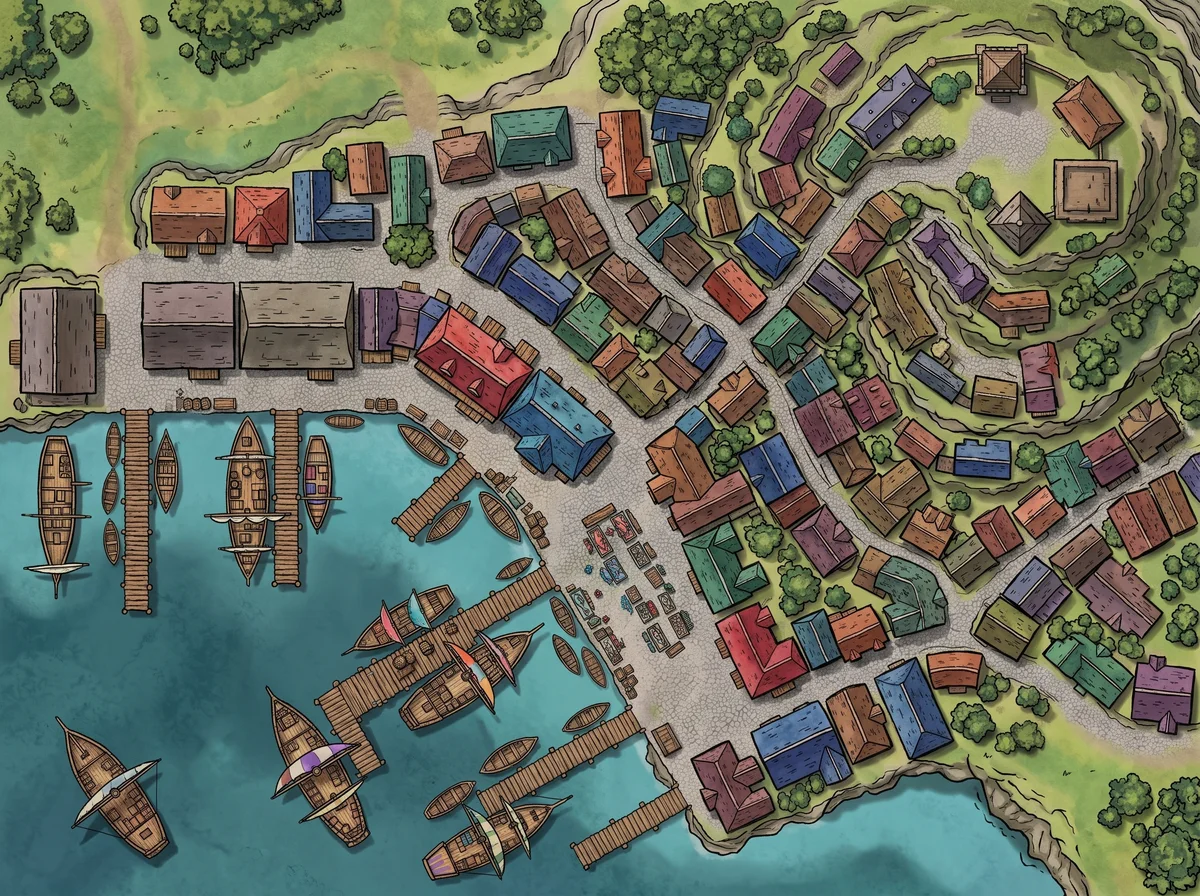
- Driftholm (pirate confederacy port): "Bustling harbor city with docks district, old town quarter, cliffside noble estates, and a central market square."
Each generation took about 90 seconds. I saved all three and moved on.
For the 5 towns, I wrote 1-sentence prompts: "Fortified border town on a river crossing with a stone bridge and guard towers." "Mountain mining town carved into a cliff face with terraced buildings." Quick, functional, geography-driven.
For the 4 villages, I used even shorter prompts: "Small fishing village on a rocky coast with a single dock." "Farming hamlet at a crossroads with a tavern and a well." The random city generator handles these beautifully — minimal prompt, maximum atmosphere.
Total generation time: about 20 minutes for 12 maps. Compare that to the 45 minutes per map I used to spend with Inkarnate.
Step 4: Name Everything (10 min)
Names should match the culture. I use 3 naming strategies depending on the kingdom:
- Ashenvale (old empire) — compound names with archaic roots: Ashenvale, Thornmere, Oldwall
- Kethranor (theocracy) — formal, consonant-heavy: Kethranor, Valdris, Sancthaven
- Shard Isles (pirate confederacy) — rough, maritime: Driftholm, Saltwick, Reefscar
For improvised names mid-session, I keep a fantasy name generator tab open. But for the initial 12, I prepped names in advance. Took about a minute per settlement — 10 minutes total.
I wrote more about the naming process in my post on naming fantasy countries. The short version: blend an English root with a suffix from another language, and you get names that feel foreign but pronounceable.
Step 5: Connect With Roads (5 min)
The last step: draw trade routes between settlements. Not every settlement connects to every other one. I drew:
- Major roads between capitals (3 routes)
- Minor roads from towns to the nearest capital (5 routes)
- Trails from villages to the nearest town (4 routes)
This creates a road network that looks organic, not like a subway map. Some villages are deliberately remote — reachable only by trail, not by road. That remoteness is a story hook in itself.
The 4 Maps I Had to Redo
Not everything worked the first time.
Ashenvale looked too intact. My prompt said "declining empire" but the generated map showed pristine walls and a gleaming palace. I added "crumbling sections of outer wall, overgrown gardens, abandoned buildings in the northeast quarter" and regenerated. The second version told a story.
The mountain mining town had no road. Beautiful cliffside settlement, completely inaccessible. I added "switchback road leading up from the valley floor" to the prompt. Small detail, huge difference for gameplay.
Two villages looked identical. I used similar prompts ("small farming village with a tavern") and got similar outputs. Differentiation came from adding one unique geographic feature each: "on a river island" vs. "at the edge of a dense forest."
Driftholm's docks were too small. For a city that's the pirate confederacy's main port, the initial generation showed a modest harbor. I specified "large harbor district with 20+ ship berths, multiple warehouses, a shipyard" and the city map generator produced something that matched the narrative importance.
What This Workflow Produces
After 45 minutes, I had:
- 12 settlement maps (3 cities, 5 towns, 4 villages)
- A naming scheme that felt consistent within each kingdom
- A road network connecting everything
- A clear sense of where the action would happen
That was February 2025. It's now 47 sessions later. Players have visited 9 of the 12 settlements. The other 3 are sitting on the map, waiting — and the fact that they exist on the map, visible but unexplored, creates a sense of a living world. Dan's wizard keeps eyeing the blank mountain town in the northeast. He'll get there eventually.
The hex crawl works because the cities aren't random. They're geographic. Every settlement answers "why here?" — and when players ask that question, the answer is already built into the terrain.
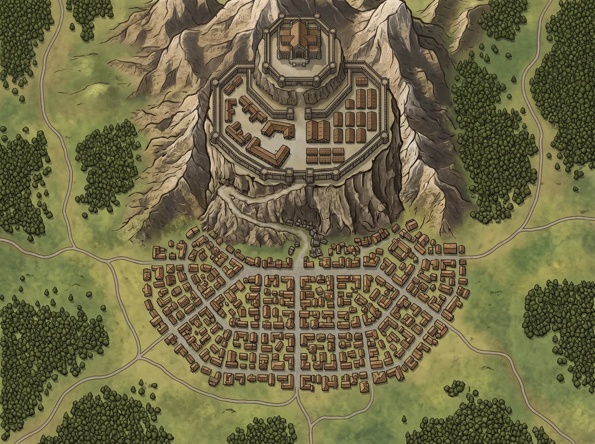 One of the 5 tier-2 towns — a mountain garrison that controls the only pass between Ashenvale and Kethranor. Generated in 90 seconds, used in 6 sessions so far.
When This Approach Doesn't Work
Procedurally-generated worlds. If you're using a tool like Azgaar's Fantasy Map Generator to generate the hex map AND the cities, this workflow is redundant — the tool handles settlement placement algorithmically. My workflow is for DMs who have a world map (hand-drawn or AI-generated) but need to populate it manually.
One-shot adventures. A 4-hour one-shot doesn't need 12 settlements. It needs 1 village (the starting point) and 1 dungeon (the destination). Skip the hex crawl entirely.
Player-driven worldbuilding. If your table uses collaborative world-building where players help define locations, pre-populating defeats the purpose. Leave the map blank and fill it together.
The Shattered Coast map started as 23 words and an empty continent. 45 minutes later, it had 12 places where stories could happen.
Most of those stories haven't been told yet. That's the whole point.
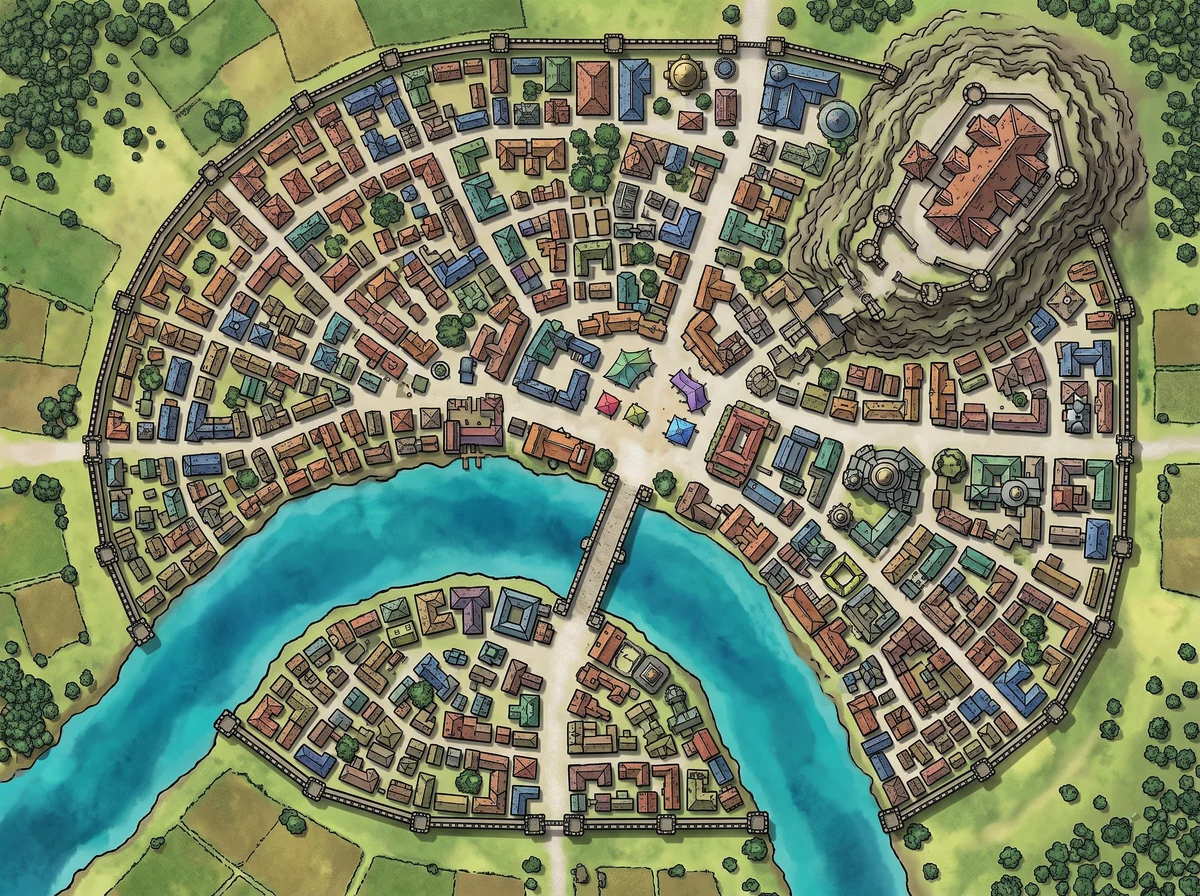 Ashenvale, the declining empire's capital — session 41 revealed that the old city center is now underwater. A detail I didn't plan for when I generated the map, but the map made it believable.
Related Reading
- How One D&D City Map Took Over 12 Sessions — What happens when one of those 12 cities becomes the center of the campaign.
- I Built a Fantasy World in 3 Hours — The world-building workflow that precedes hex stocking.
- Naming Countries Without Sounding Like Tolkien — Naming strategies for settlements.
- Hex Map Maker Workflow: From Blank Grid to 6-Session Campaign — The hex-grid foundation this city-placement workflow builds on.
- City Map Generator — The tool behind the 20-minute map generation step.
- World Map Generator — Generate the hex map itself.

Written by
Toby
Indie Developer & Creator of FantasyGen
Toby is an independent developer focused on building AI-powered creative tools. He created FantasyGen to help game masters and worldbuilders generate fantasy maps instantly — no artistic skills required.
Continue the Campaign
DnD Village Maps: 4 Buildings That Make a Village Feel Alive
Master the 4-building framework for any dnd village map. A tavern, a shrine, a shop, and one hidden secret generate more gameplay than 20 labeled buildings.
5 Districts Every Fantasy City Map Needs (and 2 I Forget)
After mapping 15 cities across 3 campaigns, I always start with the same 5 districts. The 2 I forget — undercity and tent slums — end up mattering most.
How One D&D City Map Took Over 12 Sessions of My Campaign
I prepped 4 districts for a throwaway port city. Three months later my players refused to leave. How one D&D city map became the center of my entire campaign.